Bonshaw Hills Provincial Park Trails
Gallery

Quick Facts
| Difficulty | moderate |
| Trail Type | loops |
| Distance | 9.2 km mapped |
| Estimated Time | 3 hrs |
| Surface Type | forested |
| Elevation Change | 47 meters |
| Features | river, fields, forest |
| Trail Markers | mowed |
| Scenery Rating | beautiful |
| Maintenance Rating | well maintained |
| Cell Reception | strong |
| Dog Friendly | on a leash |
| Fees | none |
Store

Directions
There are several access points to the Bonshaw Trails. The most popular is the parking lot on highway 1 at the bottom of the hill next to the West River.
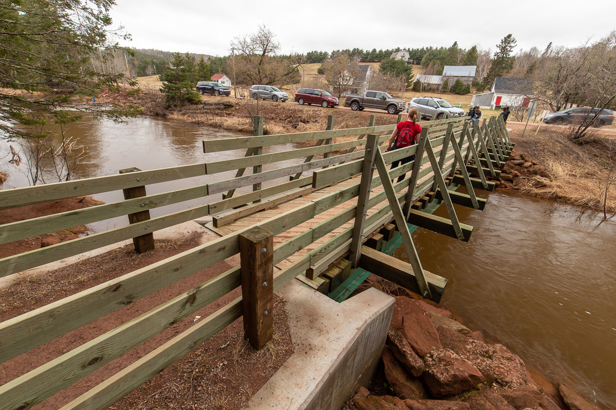
A second option is to turn onto Green Road on the other side of the river. After 1 km the road turns sharply to the left. There is a walking bridge crossing the river on the right that enters the park.
The third way to access the park is at the top of the hill towards Charlottetown. Turn left onto Route 245 (Across from the entrance to Strathgartney Provincial Park), then after less than 1 km turn left onto MacKinnon Lane where you will find more parking.
Map

Description
Bonshaw Hills Provincial Park, along with Strathgartney Park across the road, has an extensive hiking trail system that has something for everyone. Trails travel along the West River and through all types of forest and fields. Throughout the trail system you will find lots of interesting things to explore.
The trails are a mix of wide crusshed rock and small single track woods trails. All of the trails are well traveled so easy to follow.
Trail Last Hiked: April 21, 2019.
Page Last Updated: June 15, 2019.